Estimated reading time is 2 minutes.
WINTER HAS EXTENDED ITS GRIP on the Arctic, dropping a curtain of darkness on the top of the world. But at least one part of the Arctic is resisting its grasp. In what’s becoming an unfortunately common story, sea ice growth is stalling out in one of the gateway seas leading to the heart of the Arctic Ocean. The Chukchi Sea currently has a sea ice extent more reminiscent of summer than early winter, a sign that something is not right in the waters at the highest latitudes of the globe.
The Chukchi Sea sits between northern Alaska and Russia. That makes it a crucial bridge to the Bering Sea, a place for the sea to latch on and spread its icy tendrils to the south. But this winter so far has seen ice suffer. After bottoming out in September, the ice in the Chukchi Sea has failed to rebound.
Usually, the dip in temperatures coupled with the lack of sunlight causes ice to build back up quickly. This year, though, growth has been much slower. Sea ice data shows that ice extent is the lowest on record for this time of year by a long shot.
The paragraphs above were taken from “Some Arctic Sea Ice Is Acting Like It’s Mid-Summer” by Brian Kahn for Gizmodo (November 15, 2019).
To read the complete article, click HERE.
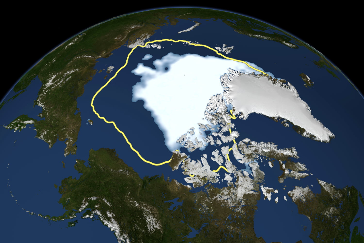
Satellite data reveal how the new record low Arctic sea ice extent compares to the average minimum extent over the past thirty years. Click To Tweet

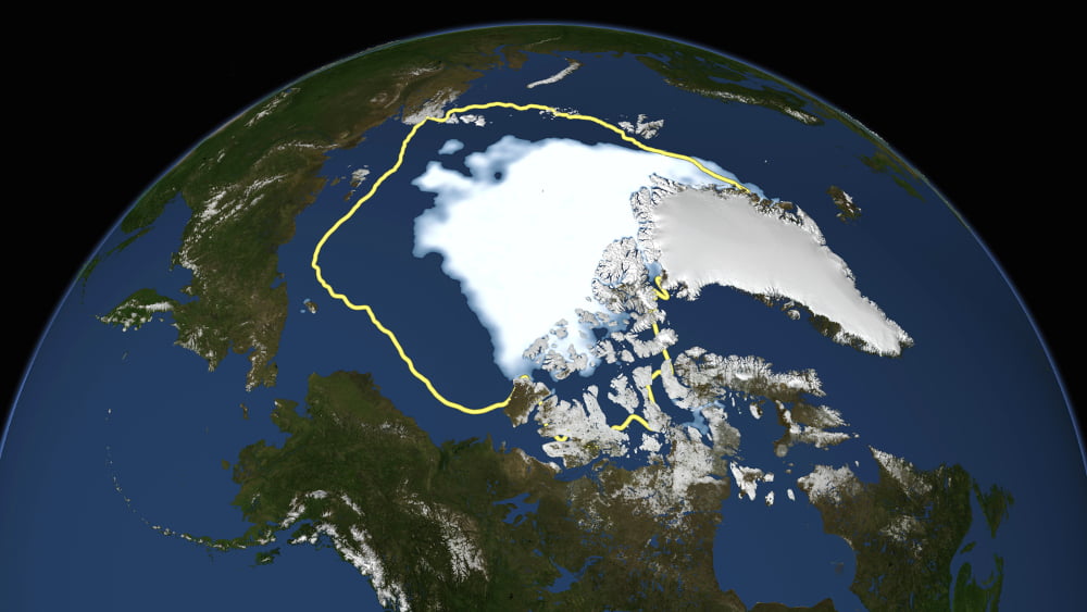
FEATURED IMAGE: The image at the top of this page is from “Arctic Sea Ice Hits Smallest Extent In Satellite Era” on the NASA website and courtesy of NASA/Goddard Scientific Visualization Studio.
“Satellite data reveal how the new record low Arctic sea ice extent, from Sept. 16, 2012, compares to the average minimum extent over the past 30 years (in yellow). Sea ice extent maps are derived from data captured by the Scanning Multichannel Microwave Radiometer aboard NASA’s Nimbus-7 satellite and the Special Sensor Microwave Imager on multiple satellites from the Defense Meteorological Satellite Program.”
Mystically liberal Virgo enjoys long walks alone in the city at night in the rain with an umbrella and a flask of 10-year-old Laphroaig who strives to live by the maxim, “It ain’t what you know that gets you into trouble; it’s what you know that just ain’t so.
I’ve been a puppet, a pauper, a pirate, a poet, a pawn, and a college dropout (twice!). Occupationally, I have been a bartender, jewelry engraver, bouncer, landscape artist, and FEMA crew chief following the Great Flood of ’72 (and that was a job that I should never, ever have left).
I am also the final author of the original O’Sullivan Woodside price guides for record collectors and the original author of the Goldmine price guides for record collectors. As such, I was often referred to as the Price Guide Guru, and—as everyone should know—it behooves one to heed the words of a guru. (Unless, of course, you’re the Beatles.)


